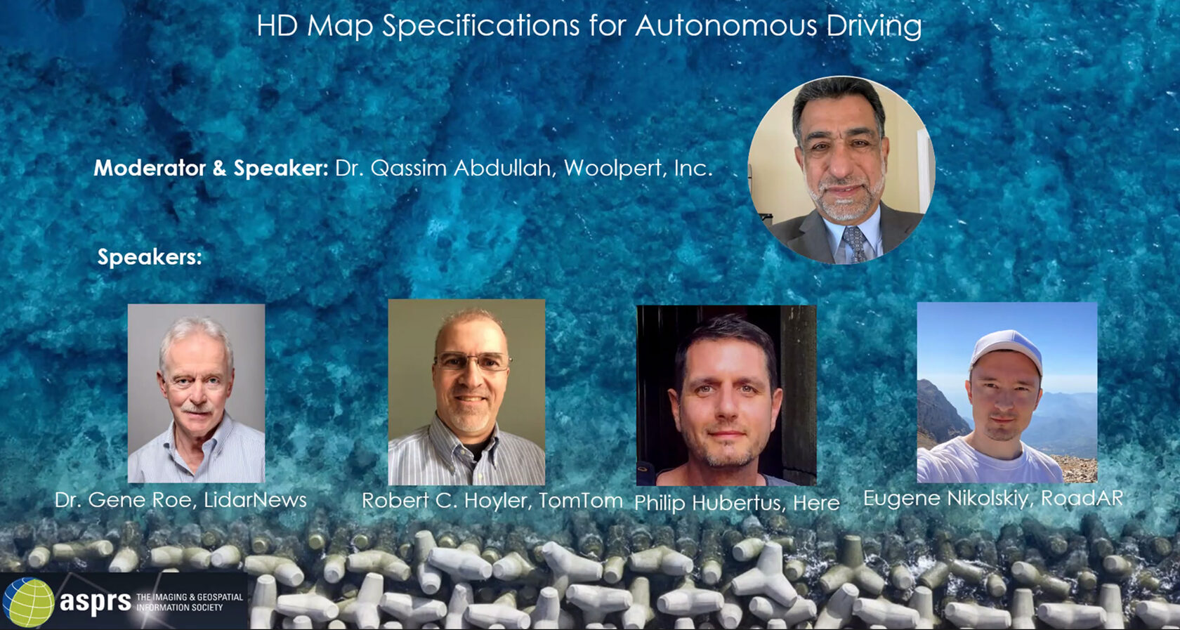
The session was hosted by Qassim Abdullah, Vice President and Chief Scientist at Woolpert and was aimed to educate the geospatial mapping industry on the requirement of the autonomous vehicles for the high-definition maps.
As autonomous vehicles will be deployed on the roads at scale in the next few years, new risks and challenges will arise that have to be addressed now.
Eugene’s presentation in the panel was focused on the current state of the HD mapping and existing industry challenges, such as isolated development, absence of the standards accepted by both the industry and DOTs, no governmental safety validation of AVs, no cross-validation between vendors, data obsolescence with LIDAR approach, limitation to certain scenarios for object-recognition based approach for application.
The panel also covered the issues of HD maps utilization by autonomous vehicles and the need for efficient methods for keeping the HD map up-to-date at scale and national standards for ensuring the accuracy.
The panel speakers also included Dr. Gene Roe, CEO and Founder of LidarNew, Mr. Robert C. Hoyler, Sr. Partnership Development Manager at TomTom, Mr. Philip Hubertus, Senior Product Manager at Here.
Each year professionals working with photogrammetry, remote sensing, and GIS gather at the ASPRS Annual Conference for technical workshops, education sessions, awards recognizing excellence, and ASPRS committee meetings.
Presentations, panel discussions, and a poster gallery are part of the technical program including these hot topics:
- Geospatial Market Opportunities Leveraging Remote Sensing Products and Services
- Diversity, Equity, and Inclusion in the Geospatial Industry
- Evolving National and International Standards involving Reference Frames, Positional Accuracy, Thematic Accuracy, and Data Quality
- Positional and Thematic Accuracy Standards
- New Airborne and Spaceborne Sensors and Data Products
- Remote Sensing Data Sharing and Processing in the Cloud
We want to thank ASPRS Annual Conference organizers and the geospatial community for hosting Roadly at the panel.